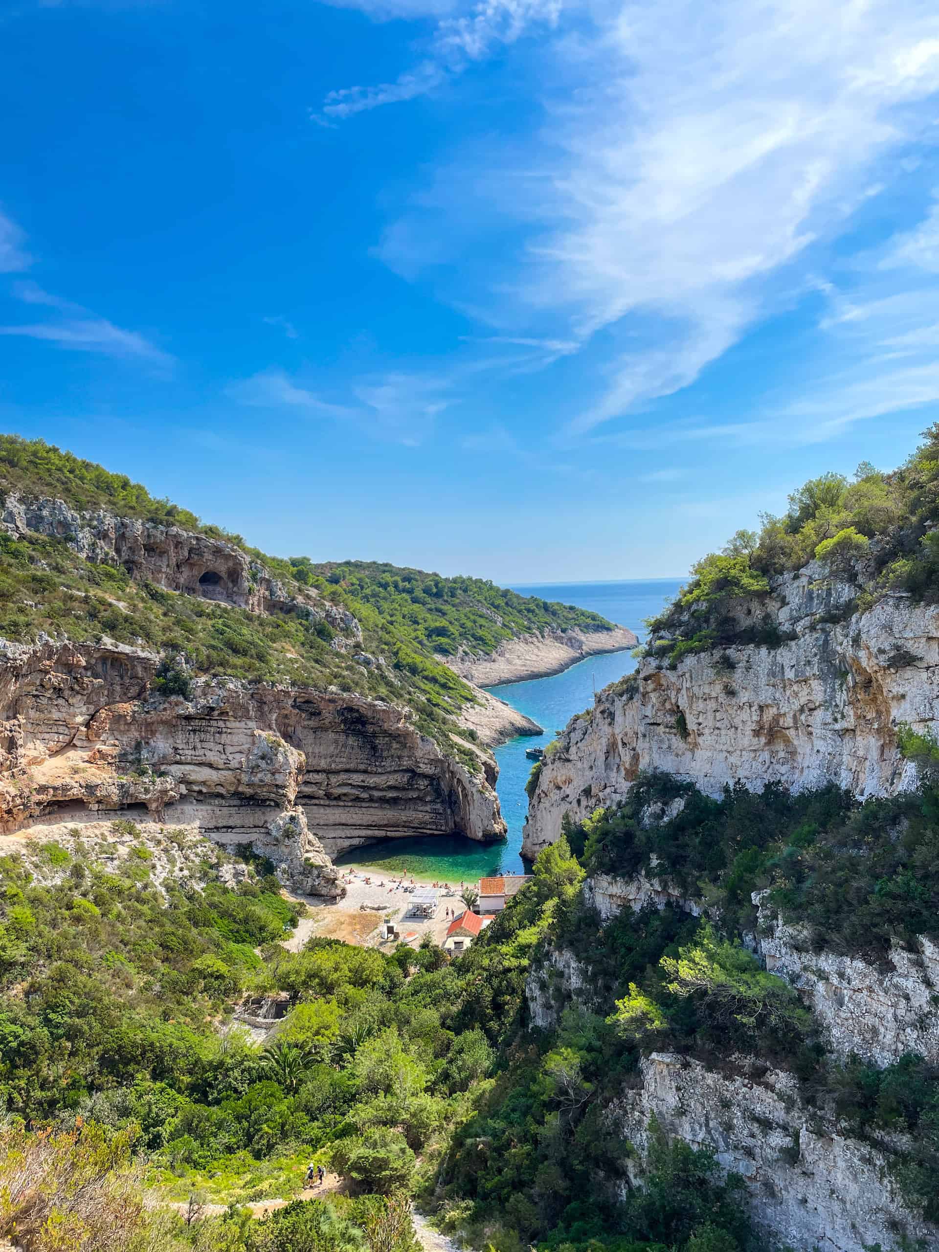
Vis Island Coves
These limestone inlets provide calm, deep blue water ideal for observing schools of damselfish. Look for sheltered bays near Stiniva to find optimal conditions.
Enter water from the pebble shore early to avoid boat traffic.

Croatia's Adriatic coastline stretches across 1,777 kilometers of mainland shore and more than a thousand islands, each section offering distinct underwater topography and marine habitats. This guide maps the snorkeling zones that combine reliable visibility, safe access and thriving ecosystems.
Quick answer
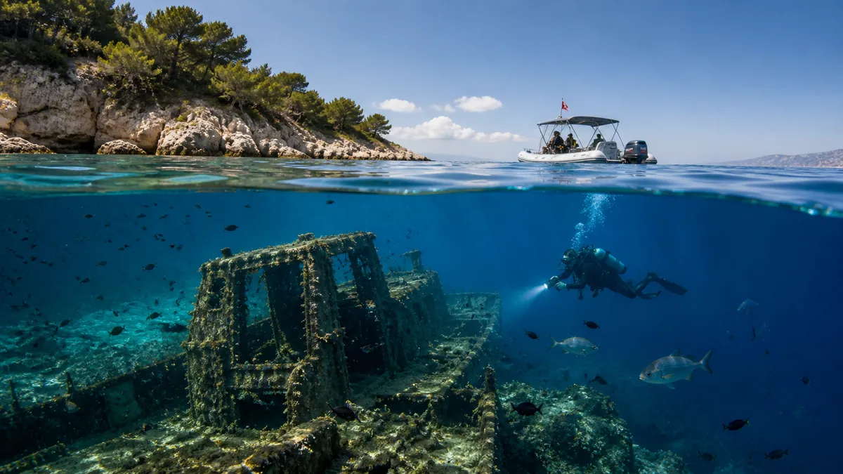
A croatia snorkeling map divides the Adriatic coastline into four primary zones: Istria's rocky northern peninsula, the Kvarner Gulf islands, the central Dalmatian archipelago, and the southern limestone walls near Dubrovnik. Entry to public coastal waters and beaches is free, with the clearest conditions typically found between 08:00 and 11:00 before midday sun and boat traffic reduce visibility.
More than 1,200 islands and islets punctuate Croatia's Adriatic shoreline, creating a lattice of sheltered bays, underwater caves and reef systems that rank among the Mediterranean's most biodiverse snorkeling terrain. The coastline's limestone geology produces crystalline water clarity that regularly exceeds 30 meters of horizontal visibility in the outer archipelago, while the Adriatic's moderate salinity supports dense populations of sea urchins, octopus, damselfish and the protected noble pen shell. The northern Istrian peninsula offers the most accessible entry points, with shallow rocky platforms and pebble beaches that drop gradually into kelp forests and seagrass meadows. Visibility here averages 15 to 25 meters outside of summer algae blooms, and the cooler water temperatures support different species than the warmer southern zones. The Brijuni Islands National Park anchors the region's protected marine areas, though snorkeling within the park requires adherence to seasonal restrictions. Central Dalmatia's archipelago contains the highest concentration of premier snorkeling sites, particularly around the Kornati Islands, Vis, and the outer edges of Hvar and Brač. These zones benefit from deep-water currents that flush nutrients through narrow channels while maintaining exceptional transparency. The croatia snorkeling map for this region must account for ferry routes and seasonal mooring restrictions, as many of the best sites lie within marine protected areas that limit anchoring but permit swimming and snorkeling from designated approach corridors. Southern zones near Dubrovnik and the Elaphiti Islands present dramatic underwater walls and cave systems, with vertical limestone cliffs continuing 20 to 40 meters below the surface. These sites demand stronger swimming ability and awareness of boat traffic, but reward experienced snorkelers with sightings of grouper, moray eels and migratory pelagic species that rarely venture into shallower northern waters. The Mljet Island marine park combines accessible bay snorkeling with deeper offshore reef structures, providing range within a single protected zone. Coastal access remains unrestricted along the majority of the Croatian shore, but snorkelers must navigate a patchwork of private beaches, hotel waterfronts and rocky foreshores that lack formal entry infrastructure. A functional snorkeling chart identifies not only the richest underwater zones but also the nearest public access paths, parking areas and the coastal segments where entry is feasible without specialized footwear or climbing over sharp karst formations.
“More than 1,200 islands create a lattice of sheltered bays and reef systems that rank among the Mediterranean's most biodiverse snorkeling terrain.”
The best arrival window for snorkeling in the Adriatic Sea is 08:00–11:00, which offers clearer water visibility and smaller crowds before the peak midday sun. Planning your visit during these hours ensures calmer sea conditions for navigating your Croatia snorkeling map.
Warm waters 23°C–26°C
These months offer the highest water temperatures for extended snorkeling sessions. Mornings remain the most favorable time to avoid afternoon boat traffic.
Mild waters 18°C–21°C
These shoulder months provide quieter coastal access and pleasant air temperatures. Visibility is often at its peak due to reduced marine activity.
—
Midweek mornings between 08:00–11:00 provide the calmest surface conditions. This schedule helps maximize visibility for observing marine life along the coastline.
Verdict: The best time to explore the Adriatic coastline is from May to June or September to October, specifically between 08:00–11:00 on weekdays.
Access to snorkeling locations along the Adriatic Sea coastline is based on public rights of way. There are no mandatory admission fees for entering public coastal waters or beaches in Croatia.
Verdict: A typical adult pays 0 EUR for coastal access, which remains consistent across all public snorkeling zones.
The Adriatic coastline offers diverse marine environments ranging from limestone-fringed coves to expansive underwater meadows. Identifying these distinct zones helps in planning effective snorkeling excursions along the Croatia map.
These limestone inlets provide calm, deep blue water ideal for observing schools of damselfish. Look for sheltered bays near Stiniva to find optimal conditions.
Enter water from the pebble shore early to avoid boat traffic.
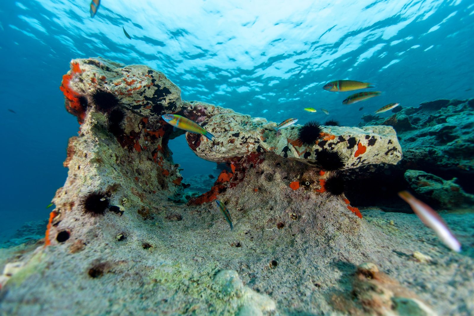
This protected area features high water clarity and diverse Mediterranean marine life including octopus and grouper. The rocky seafloor supports dense communities of sea sponges.
Focus exploration along the steep underwater walls and crevices.
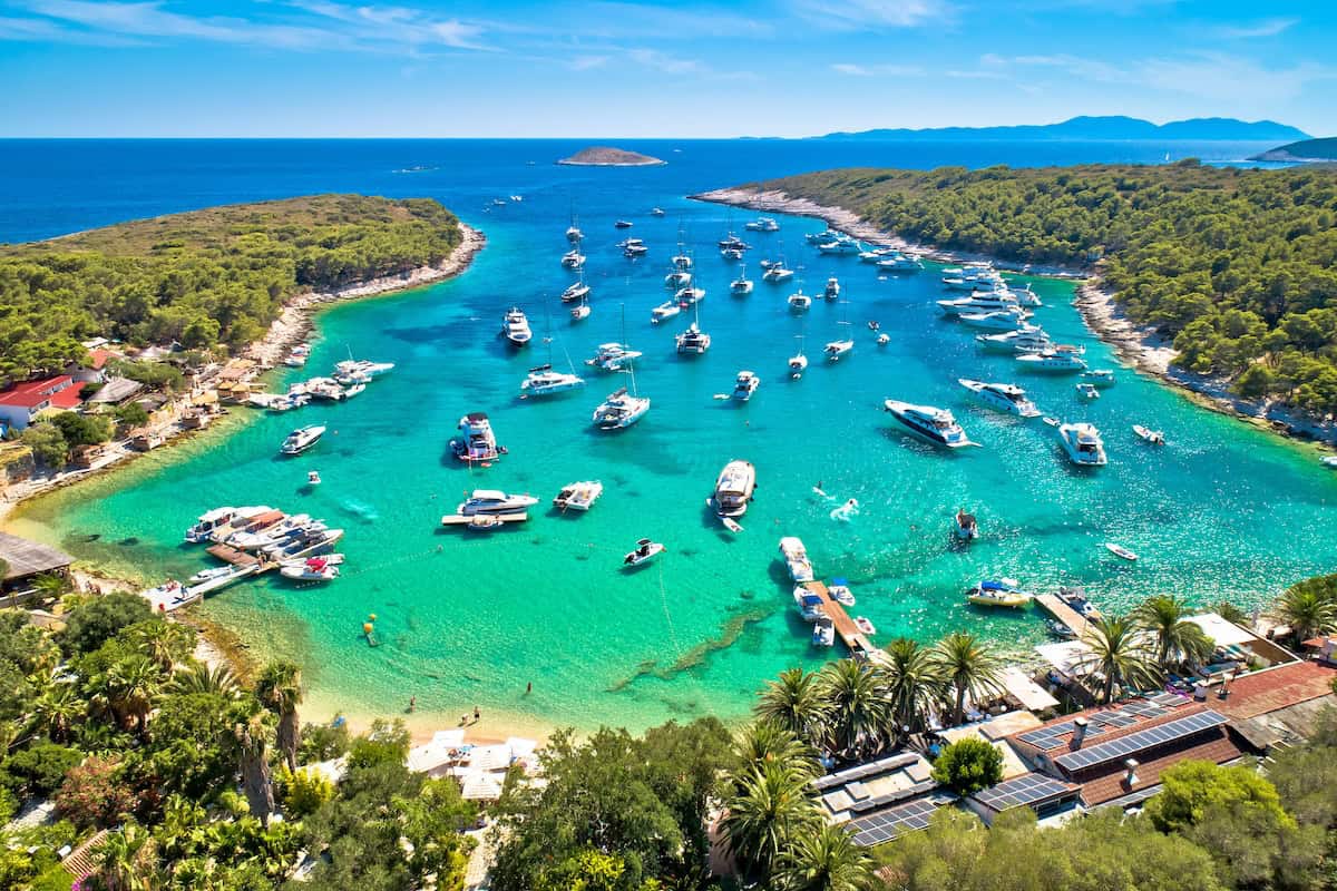
Located off Hvar, these islets feature shallow, crystal-clear channels with sandy patches and seagrass beds. It is a common spot to observe wrasse and sea bream.
Swim between the smaller islets for the best marine variety.
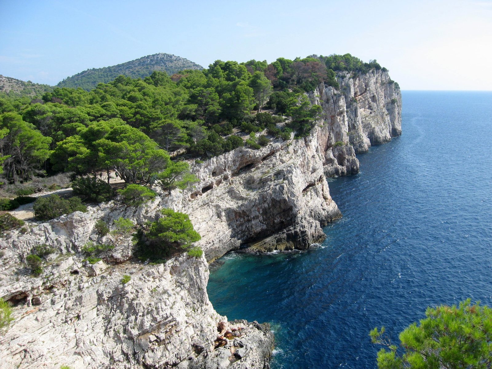
Situated on Dugi Otok, this area includes a sheltered bay with a unique rocky coastline and vibrant marine biodiversity. The topography changes rapidly from shallow shelves to deeper drop-offs.
Stay close to the cliff edges for better visibility of fish.
Plan ahead to make the most of Croatia's diverse snorkeling zones along the Adriatic coast.
The Adriatic Sea coastline is accessible via a network of coastal roads, public bus routes, and regional ferry services. Many snorkeling sites are reachable by walking from designated beach access points or by private boat charter.
D8 coastal road to local beach parking
Regional lines to island or coastal hubs
Private charter or local ferry to hidden coves
Marked coastal footpaths to secluded bays
Plan your travel to reach your chosen coastal destination between 08:00 and 11:00 to ensure easier parking access and optimal water conditions.
Everything you need to know about croatia snorkeling map
Beyond your navigation guide, bring essential gear such as a mask, snorkel, and fins to fully enjoy the underwater environment. Sun protection, including reef-safe sunscreen and a rash guard, is recommended to prevent overexposure to the sun. It is also helpful to carry plenty of drinking water and a small dry bag for your personal items. Packing these basics ensures you stay comfortable throughout your time at the seaside.